2007
SU0236 : Downland, Hanging Langford
taken 17 years ago, near to Hanging Langford, Wiltshire, England
This is 1 of 2 images, with title Downland, Hanging Langford in this square
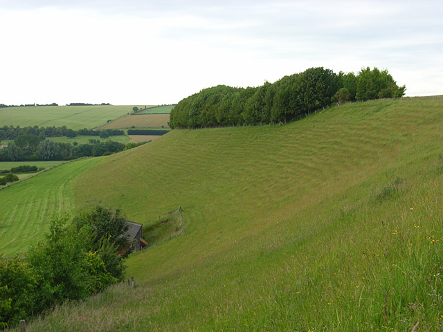
Downland, Hanging Langford
Two dry valleys cut into this grid-square from the Wylye valley. This is the more westerly of them. A barn is just visible below.
 Map © Crown Copyright")
TIP: Click the map for more Large scale mapping
- Grid Square
- SU0236, 16 images (more nearby 🔍)
- Photographer
- Andrew Smith (more nearby)
- Date Taken
- Saturday, 23 June, 2007 (more nearby)
- Submitted
- Sunday, 24 June, 2007
- Subject Location
-
OSGB36:
 SU 023 363 [100m precision]
WGS84: 51:7.5586N 1:58.1108W - Camera Location
-
OSGB36: SU 023 363
- View Direction
- NORTH (about 0 degrees)