2007
SU0339 : Downland, Steeple Langford
taken 17 years ago, near to Steeple Langford, Wiltshire, England
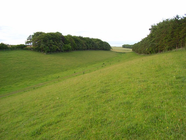
Downland, Steeple Langford
Dry valley between plantations beneath Steeple Langford Cow Down.
 Map © Crown Copyright")
TIP: Click the map for more Large scale mapping
- Grid Square
- SU0339, 12 images (more nearby 🔍)
- Photographer
- Andrew Smith (more nearby)
- Date Taken
- Saturday, 23 June, 2007 (more nearby)
- Submitted
- Sunday, 24 June, 2007
- Subject Location
-
OSGB36:
 SU 035 392 [100m precision]
WGS84: 51:9.1229N 1:57.0803W - Camera Location
-
OSGB36: SU 035 392
- View Direction
- East-northeast (about 67 degrees)