2007
SH2831 : Bodlondeb
taken 17 years ago, near to Nanhoron, Gwynedd, Wales
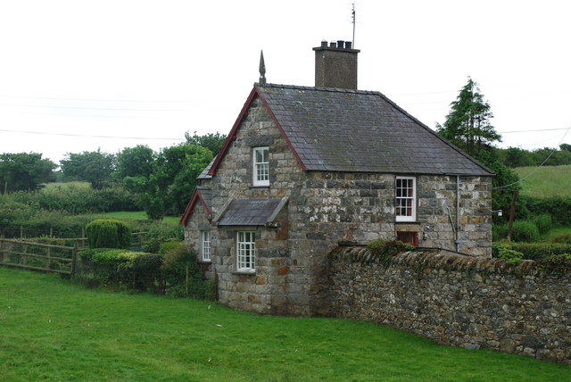
Bodlondeb
 Map © Crown Copyright")
TIP: Click the map for more Large scale mapping
- Grid Square
- SH2831, 52 images (more nearby 🔍)
- Photographer
- Alan Fryer (more nearby)
- Date Taken
- Sunday, 24 June, 2007 (more nearby)
- Submitted
- Monday, 25 June, 2007
- Subject Location
-
OSGB36:
 SH 287 314 [100m precision]
WGS84: 52:51.1786N 4:32.6571W - Camera Location
-
OSGB36: SH 288 314
- View Direction
- South-southwest (about 202 degrees)