2016
ST8086 : Junction near the Ragged Castle
taken 8 years ago, near to Little Badminton, South Gloucestershire, England
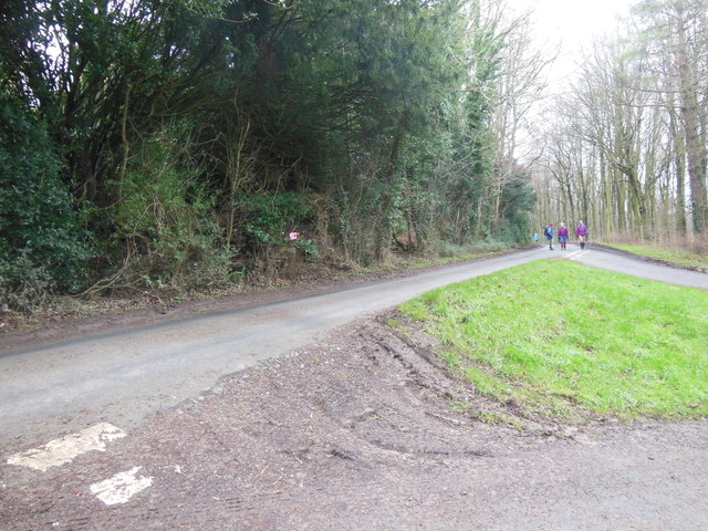
Junction near the Ragged Castle
The Ragged Castle (a castellate folly once used as an estate house Link ) is behind the trees on the left.
 Map © Crown Copyright")
TIP: Click the map for more Large scale mapping
- Grid Square
- ST8086, 13 images (more nearby 🔍)
- Photographer
- HelenK (more nearby)
- Date Taken
- Friday, 1 January, 2016 (more nearby)
- Submitted
- Friday, 1 January, 2016
- Subject Location
-
OSGB36:
 ST 8046 8607 [10m precision]
WGS84: 51:34.3893N 2:17.0006W - Camera Location
-
OSGB36: ST 8051 8606
- View Direction
- WEST (about 270 degrees)