2007
TL9434 : Ripening barley near Rickland Farm
taken 17 years ago, near to Honey Tye, Suffolk, England
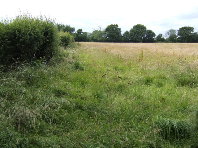
Ripening barley near Rickland Farm
The wood known as Rickland Grove is at the far end of the field.
 Map © Crown Copyright")
TIP: Click the map for more Large scale mapping
- Grid Square
- TL9434, 9 images (more nearby 🔍)
- Photographer
- Jonathan Billinger (more nearby)
- Date Taken
- Tuesday, 26 June, 2007 (more nearby)
- Submitted
- Tuesday, 26 June, 2007
- Subject Location
-
OSGB36:
 TL 945 347 [100m precision]
WGS84: 51:58.6025N 0:49.8477E - Camera Location
-
OSGB36: TL 946 347
- View Direction
- WEST (about 270 degrees)