2007
SD6581 : Fell Road
taken 17 years ago, 3 km from Barbon, Cumbria, England
This is 1 of 2 images, with title Fell Road in this square
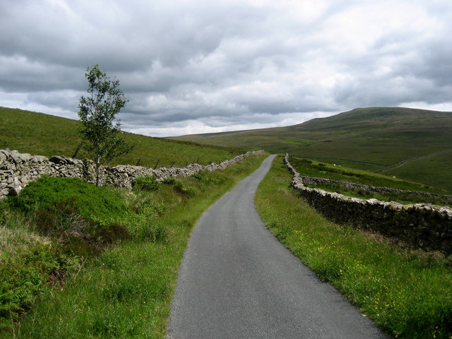
Fell Road
This Fell Road between Gale Garth and its terminus at Bullpot Farm.
 Map © Crown Copyright")
TIP: Click the map for more Large scale mapping
- Grid Square
- SD6581, 16 images (more nearby 🔍)
- Photographer
- Chris Heaton (more nearby)
- Date Taken
- Tuesday, 26 June, 2007 (more nearby)
- Submitted
- Wednesday, 27 June, 2007
- Subject Location
-
OSGB36:
 SD 659 811 [100m precision]
WGS84: 54:13.4955N 2:31.4624W - Camera Location
-
OSGB36: SD 658 810
- View Direction
- Northeast (about 45 degrees)