2016
SK6253 : Field next to Robin Hood Hill
taken 8 years ago, near to Oxton, Nottinghamshire, England
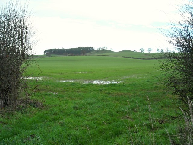
Field next to Robin Hood Hill
View through a gap in the hedge across the fields to Robin Hood Hill. The mound on the right is thought to be a burial mound, the ones to the left of it appear to be natural.
 Map © Crown Copyright")
TIP: Click the map for more Large scale mapping
- Grid Square
- SK6253, 12 images (more nearby 🔍)
- Photographer
- Antony Dixon (more nearby)
- Date Taken
- Friday, 8 January, 2016 (more nearby)
- Submitted
- Friday, 8 January, 2016
- Subject Location
-
OSGB36:
 SK 628 534 [100m precision]
WGS84: 53:4.4917N 1:3.7907W - Camera Location
-
OSGB36: SK 625 533
- View Direction
- East-northeast (about 67 degrees)