2015
SW4727 : Between Roskilly and Skilly
taken 8 years ago, near to Paul, Cornwall, England
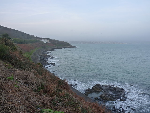
Between Roskilly and Skilly
Shoreline rocks and a concrete coastal protection barrier below Cliff Road, which runs from Mousehole to the southern outskirts of Newlyn.
 Map © Crown Copyright")
TIP: Click the map for more Large scale mapping
- Grid Square
- SW4727, 39 images (more nearby 🔍)
- Photographer
- Richard Law (more nearby)
- Date Taken
- Sunday, 27 December, 2015 (more nearby)
- Submitted
- Wednesday, 13 January, 2016
- Subject Location
-
OSGB36:
 SW 4706 2745 [10m precision]
WGS84: 50:5.5908N 5:32.2711W - Camera Location
-
OSGB36: SW 47110 27279
- View Direction
- North-northwest (about 337 degrees)