2016
NZ5912 : Ayton Bank
taken 8 years ago, near to Newton Under Roseberry, Redcar And Cleveland, England
This is 1 of 2 images, with title Ayton Bank in this square
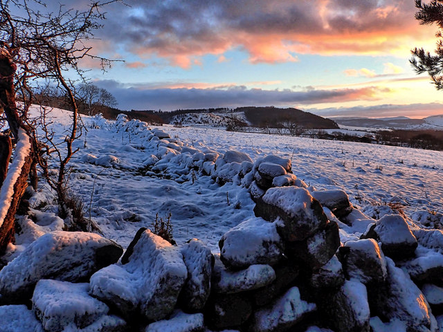
Ayton Bank
Summerhill, the site on an old farmstead, now long demolished. In the distance is Easby Moor with Capt. Cooks monument just about visible.
 Map © Crown Copyright")
TIP: Click the map for more Large scale mapping
- Grid Square
- NZ5912, 58 images (more nearby 🔍)
- Photographer
- Mick Garratt (more nearby)
- Date Taken
- Friday, 15 January, 2016 (more nearby)
- Submitted
- Saturday, 16 January, 2016
- Subject Location
-
OSGB36:
 NZ 5905 1218 [10m precision]
WGS84: 54:30.0907N 1:5.3811W - Camera Location
-
OSGB36: NZ 5903 1221
- View Direction
- South-southeast (about 157 degrees)