2015
NZ2630 : Windlestone Lane
taken 8 years ago, near to Kirk Merrington, County Durham, England
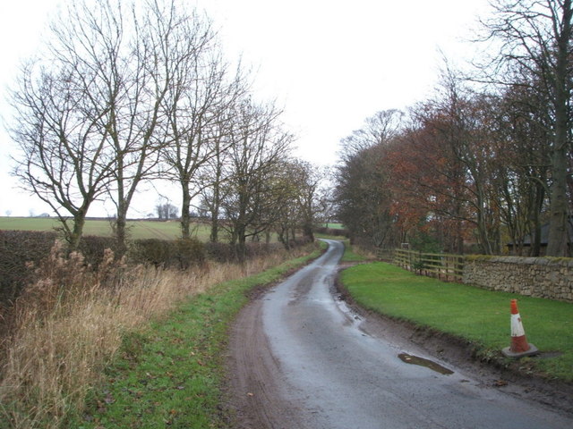
Windlestone Lane
Heading north near Merrington Grange Farm.
 Map © Crown Copyright")
TIP: Click the map for more Large scale mapping
- Grid Square
- NZ2630, 8 images (more nearby 🔍)
- Photographer
- JThomas (more nearby)
- Date Taken
- Saturday, 28 November, 2015 (more nearby)
- Submitted
- Wednesday, 20 January, 2016
- Subject Location
-
OSGB36:
 NZ 266 302 [100m precision]
WGS84: 54:40.0195N 1:35.3465W - Camera Location
-
OSGB36: NZ 266 302
- View Direction
- North-northeast (about 22 degrees)