2015
SS2224 : Pasture by St Catherine's Tor in Devon
taken 9 years ago, near to Stoke, Devon, England
This is 1 of 2 images, with title Pasture by St Catherine's Tor in Devon in this square
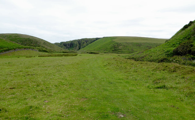
Pasture by St Catherine's Tor in Devon
This secluded pasture is east of St Catherine's Tor, and is a sea dissected valley. The South West Coast Path is diverted away from the eroding cliffs here, and rejoins the coast further north on the approach to Spekes Mill Mouth.
SS2224 : The Valley Behind St Catherine's Tor
SS2224 : The Valley Behind St Catherine's Tor
 Map © Crown Copyright")
TIP: Click the map for more Large scale mapping
- Grid Square
- SS2224, 234 images (more nearby 🔍)
- Photographer
- Roger D Kidd (more nearby)
- Date Taken
- Monday, 29 June, 2015 (more nearby)
- Submitted
- Monday, 25 January, 2016
- Subject Location
-
OSGB36:
 SS 2259 2423 [10m precision]
WGS84: 50:59.4034N 4:31.7539W - Camera Location
-
OSGB36: SS 2253 2426
- View Direction
- East-southeast (about 112 degrees)