1997
NN0643 : Beinn Mheadhonach
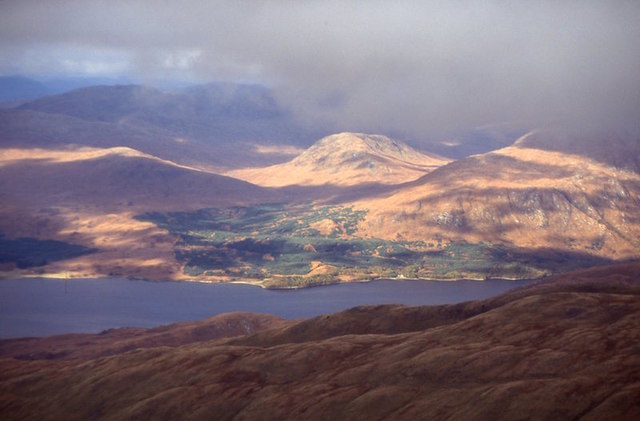
taken 26 years ago, near to Beinn Mheadhonach [hill or Mountain], Argyll And Bute, Great Britain
This is 1 of 2 images, with title Beinn Mheadhonach in this square
Beinn Mheadhonach
A hill west of Loch Etive, seen from Ben Cruachan (Stob Daimh).
 Map © Crown Copyright")
TIP: Click the map for more Large scale mapping
- Grid Square
- NN0643, 3 images (more nearby 🔍)
- Photographer
- Richard Webb (more nearby)
- Date Taken
- Saturday, 1 November, 1997 (more nearby)
- Submitted
- Monday, 25 January, 2016
- Subject Location
-
OSGB36:
 NN 06 43 [1000m precision]
WGS84: 56:32.6118N 5:8.9401W - Camera Location
-
OSGB36: NN 094 308
- View Direction
- North-northwest (about 337 degrees)