2013
NY4012 : Path heading down to Hartsop
taken 11 years ago, near to Hartsop, Cumbria, England
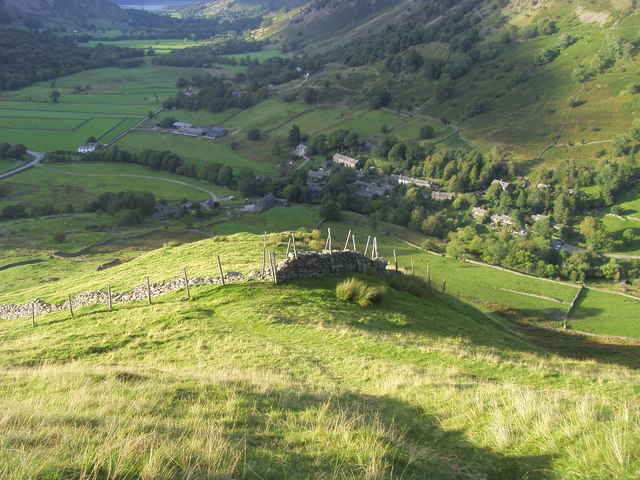
Path heading down to Hartsop
From Hartsop Dodd the path heading down by the fence line to Hartsop
 Map © Crown Copyright")
TIP: Click the map for more Large scale mapping
- Grid Square
- NY4012, 74 images (more nearby 🔍)
- Photographer
- Shaun Ferguson (more nearby)
- Date Taken
- Sunday, 22 September, 2013 (more nearby)
- Submitted
- Monday, 25 January, 2016
- Subject Location
-
OSGB36:
 NY 4087 1260 [10m precision]
WGS84: 54:30.3150N 2:54.8793W - Camera Location
-
OSGB36: NY 4089 1247
- View Direction
- North-northwest (about 337 degrees)