SU0281 : Wilts & Berks Canal, off Trow Lane
taken 8 years ago, near to Tockenham Wick, Wiltshire, England
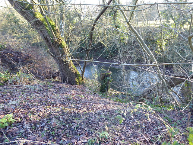
The Wilts & Berks Canal was promoted from 1793 as a means of providing cheap transport. The Bill empowering construction of the canal received Royal Assent in 1795 and the canal was cut from the Kennet & Avon Canal at Semington, near Melksham, to the River Thames at Abingdon during the years 1796 to 1810. A link from Swindon to the Thames & Severn Canal at Latton (near Cricklade) was completed in 1819. This link, known as the North Wilts Canal, allowed traffic to bypass the difficult River Thames navigation between Lechlade and Abingdon.
The main line of the canal was 52 miles long, with six miles of branches and nine miles of the North Wilts Canal. It was cut to take narrowboats 72 feet long and seven feet wide, carrying 35 tons. There were 42 locks on the main line, 11 on the North Wilts Canal and three on the Calne branch. There were three short tunnels.
The canal enjoyed a period of prosperity between 1817 and 1841. However, with the coming of the Great Western Railway in 1841 decline set in. Stanley Aqueduct between Chippenham and Calne collapsed in 1901, stopping through traffic, and the canal was abandoned by Act of Parliament in 1914. LinkLink
 Map © Crown Copyright")
- Grid Square
- SU0281, 16 images (more nearby 🔍)
- Photographer
- Vieve Forward (more nearby)
- Date Taken
- Wednesday, 20 January, 2016 (more nearby)
- Submitted
- Wednesday, 27 January, 2016
- Subject Location
-
OSGB36:
 SU 0265 8110 [10m precision]
WGS84: 51:31.7283N 1:57.7916W - Camera Location
-
OSGB36: SU 0265 8112
- View Direction
- SOUTH (about 180 degrees)