2016
TL3964 : Bridle path to Longstanton
taken 8 years ago, near to Bar Hill, Cambridgeshire, England
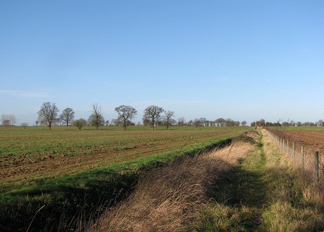
Bridle path to Longstanton
This part of the bridleway runs from near Poplar Farm on the Dry Drayton to Oakington road, on the edge of the fenland, and is not marked on current Landranger maps. It looks tranquil, but traffic noise from the A14 is incessant.
 Map © Crown Copyright")
TIP: Click the map for more Large scale mapping
- Grid Square
- TL3964, 29 images (more nearby 🔍)
- Photographer
- John Sutton (more nearby)
- Date Taken
- Thursday, 28 January, 2016 (more nearby)
- Submitted
- Thursday, 28 January, 2016
- Subject Location
-
OSGB36:
 TL 3942 6415 [10m precision]
WGS84: 52:15.4715N 0:2.4750E - Camera Location
-
OSGB36: TL 3956 6407
- View Direction
- West-northwest (about 292 degrees)