2007
SO7679 : The river Severn near Victoria Bridge
taken 17 years ago, near to Upper Arley, Worcestershire, England
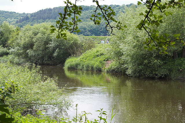
The river Severn near Victoria Bridge
Two long distance paths - the Severn Way on the Eastern bank and the North Worcestershire Path on the Western bank - flank the river Severn below Arley.
 Map © Crown Copyright")
TIP: Click the map for more Large scale mapping
- Grid Square
- SO7679, 615 images (more nearby 🔍)
- Photographer
- Leonore Kegel (more nearby)
- Date Taken
- Sunday, 3 June, 2007 (more nearby)
- Submitted
- Saturday, 30 June, 2007
- Subject Location
-
OSGB36:
 SO 767 796 [100m precision]
WGS84: 52:24.8394N 2:20.5686W - Camera Location
-
OSGB36: SO 768 796
- View Direction
- West-southwest (about 247 degrees)