2012
TL2064 : Flooded path by the Great Ouse
taken 12 years ago, near to Great Paxton, Cambridgeshire, England
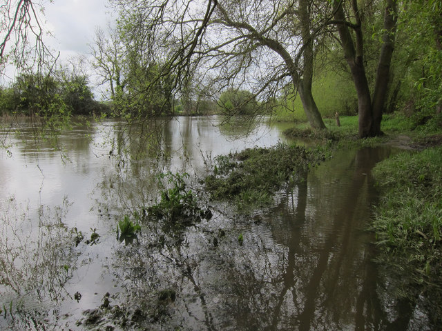
Flooded path by the Great Ouse
 Map © Crown Copyright")
TIP: Click the map for more Large scale mapping
- Grid Square
- TL2064, 40 images (more nearby 🔍)
- Photographer
- Hugh Venables (more nearby)
- Date Taken
- Sunday, 6 May, 2012 (more nearby)
- Submitted
- Thursday, 4 February, 2016
- Subject Location
-
OSGB36:
 TL 2055 6449 [10m precision]
WGS84: 52:15.9221N 0:14.0966W - Camera Location
-
OSGB36: TL 2056 6452
- View Direction
- South-southwest (about 202 degrees)