2016
SO8504 : The disused Thames and Severn Canal
taken 8 years ago, near to Thrupp, Gloucestershire, England
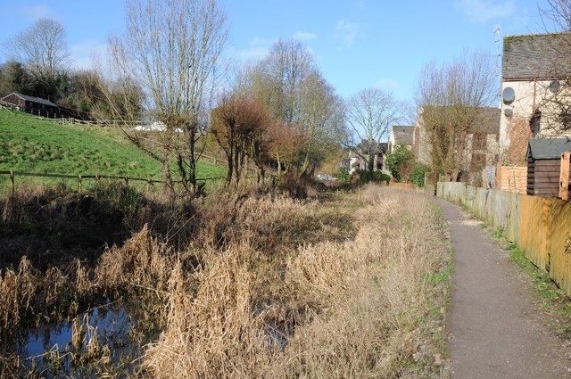
The disused Thames and Severn Canal
The disused Thames and Severn Canal north of Stanton's Bridge near Thrupp.
 Map © Crown Copyright")
TIP: Click the map for more Large scale mapping
- Grid Square
- SO8504, 190 images (more nearby 🔍)
- Photographer
- Philip Halling (more nearby)
- Date Taken
- Saturday, 30 January, 2016 (more nearby)
- Submitted
- Friday, 5 February, 2016
- Subject Location
-
OSGB36:
 SO 8583 0408 [10m precision]
WGS84: 51:44.1149N 2:12.3956W - Camera Location
-
OSGB36: SO 8585 0401
- View Direction
- North-northwest (about 337 degrees)