2007
NO2102 : Rough pasture
taken 17 years ago, near to Auchmuirbridge, Fife, Scotland
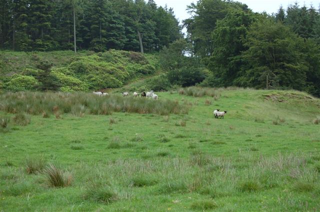
Rough pasture
This square is a mixture of pasture and plantation. This view is towards Knockmorehill Plantation.
 Map © Crown Copyright")
TIP: Click the map for more Large scale mapping
- Grid Square
- NO2102, 6 images (more nearby 🔍)
- Photographer
- Paul McIlroy (more nearby)
- Date Taken
- Saturday, 30 June, 2007 (more nearby)
- Submitted
- Saturday, 30 June, 2007
- Subject Location
-
OSGB36:
 NO 217 028 [100m precision]
WGS84: 56:12.6903N 3:15.7789W - Camera Location
-
OSGB36: NO 217 028
- View Direction
- SOUTH (about 180 degrees)