2005
TQ7075 : Saxon Shore Way
taken 19 years ago, near to Church Street, Kent, England
Saxon Shore Way
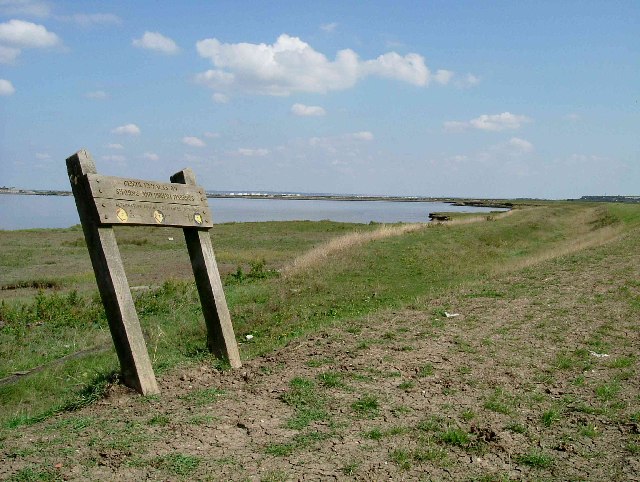
This is the junction of the Saxon Shore Way and a footpath to Beckley Hill then on to Church Street. The Higham Saltings are on the south bank and the Coryton Oil Refinery storage tanks can be seen on the north.
 Map © Crown Copyright")
TIP: Click the map for more Large scale mapping
- Grid Square
- TQ7075, 79 images (more nearby 🔍)
- Photographer
- Glyn Baker (more nearby)
- Date Taken
- Friday, 2 September, 2005 (more nearby)
- Submitted
- Saturday, 3 September, 2005
- Subject Location
-
OSGB36:
 TQ 702 752 [100m precision]
WGS84: 51:27.0124N 0:26.8821E