2016
TA1357 : Ploughed field off Lissett Lane (A165)
taken 8 years ago, near to Lissett, East Riding of Yorkshire, England
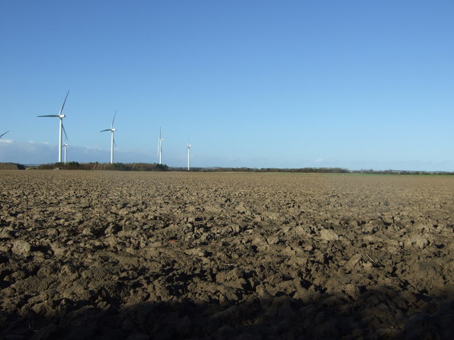
Ploughed field off Lissett Lane (A165)
Looking towards Lissett Airfield Wind Farm.
 Map © Crown Copyright")
TIP: Click the map for more Large scale mapping
- Grid Square
- TA1357, 29 images (more nearby 🔍)
- Photographer
- JThomas (more nearby)
- Date Taken
- Saturday, 30 January, 2016 (more nearby)
- Submitted
- Monday, 8 February, 2016
- Subject Location
-
OSGB36:
 TA 135 571 [100m precision]
WGS84: 53:59.8536N 0:16.1936W - Camera Location
-
OSGB36: TA 135 570
- View Direction
- Northwest (about 315 degrees)