2007
SP3474 : Hay field, Sowe valley
taken 17 years ago, near to Baginton, Warwickshire, England
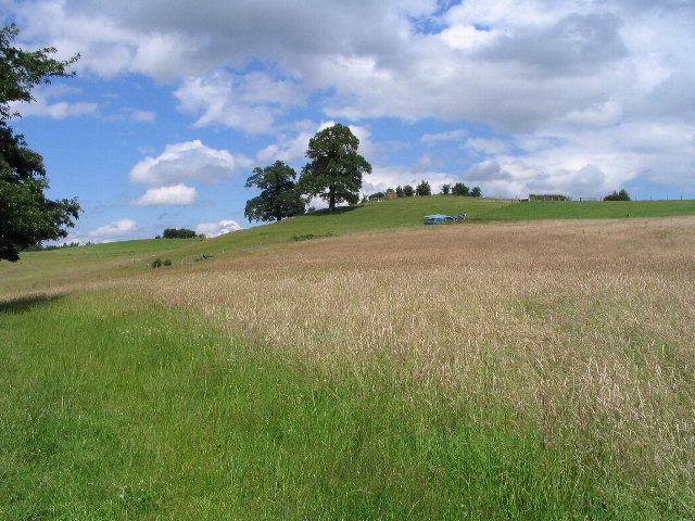
Hay field, Sowe valley
Taken from the Baginton to Stoneleigh footpath. Just visible amongst the small trees at the top of the hill is the building that was the WW2 battle headquarters for RAF Baginton.
 Map © Crown Copyright")
TIP: Click the map for more Large scale mapping
- Grid Square
- SP3474, 74 images (more nearby 🔍)
- Photographer
- E Gammie (more nearby)
- Date Taken
- Friday, 29 June, 2007 (more nearby)
- Submitted
- Sunday, 1 July, 2007
- Subject Location
-
OSGB36:
 SP 343 743 [100m precision]
WGS84: 52:21.9570N 1:29.8084W - Camera Location
-
OSGB36: SP 341 740
- View Direction
- Northeast (about 45 degrees)