2016
SO1243 : Track to Pwllperran
taken 8 years ago, near to Llanstephan, Powys, Wales
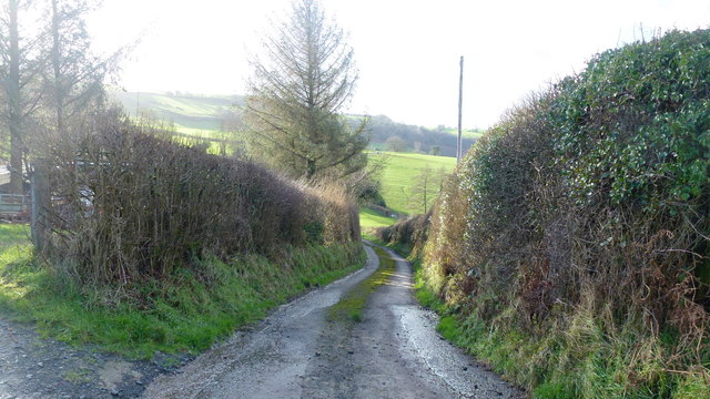
Track to Pwllperran
This is a very narrow public road terminating at Pwllperran, just around the next bend.
 Map © Crown Copyright")
TIP: Click the map for more Large scale mapping
- Grid Square
- SO1243, 10 images (more nearby 🔍)
- Photographer
- Jonathan Billinger (more nearby)
- Date Taken
- Tuesday, 2 February, 2016 (more nearby)
- Submitted
- Tuesday, 9 February, 2016
- Subject Location
-
OSGB36:
 SO 1284 4389 [10m precision]
WGS84: 52:5.1884N 3:16.4084W - Camera Location
-
OSGB36: SO 1286 4392
- View Direction
- South-southwest (about 202 degrees)