2016
SK1185 : Pennine Way from Broadlee-Bank Tor
taken 8 years ago, near to Barber Booth, Derbyshire, England
This is 1 of 2 images, with title Pennine Way from Broadlee-Bank Tor in this square
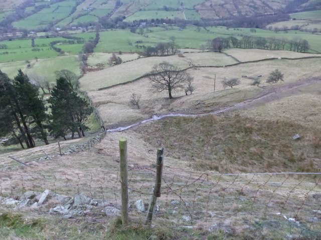
Pennine Way from Broadlee-Bank Tor
Looking down on the Pennine Way from access land just above the edge of the intake land.
 Map © Crown Copyright")
TIP: Click the map for more Large scale mapping
- Grid Square
- SK1185, 46 images (more nearby 🔍)
- Photographer
- Dave Dunford (more nearby)
- Date Taken
- Sunday, 24 January, 2016 (more nearby)
- Submitted
- Wednesday, 10 February, 2016
- Subject Location
-
OSGB36:
 SK 1115 8555 [10m precision]
WGS84: 53:22.0022N 1:50.0341W - Camera Location
-
OSGB36: SK 1113 8561
- View Direction
- South-southeast (about 157 degrees)