2007
TF7811 : Burntstalk Plantation
taken 17 years ago, 4 km SW of South Acre, Norfolk, England
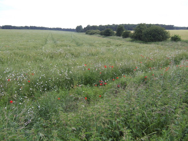
Burntstalk Plantation
The name of the patch of woodland in the distance beyond the rape field.
 Map © Crown Copyright")
TIP: Click the map for more Large scale mapping
- Grid Square
- TF7811, 4 images (more nearby 🔍)
- Photographer
- Jonathan Billinger (more nearby)
- Date Taken
- Thursday, 21 June, 2007 (more nearby)
- Submitted
- Sunday, 1 July, 2007
- Subject Location
-
OSGB36:
 TF 786 118 [100m precision]
WGS84: 52:40.4938N 0:38.4666E - Camera Location
-
OSGB36: TF 787 119
- View Direction
- Southwest (about 225 degrees)