2016
SO8454 : St Andrew's Spire
taken 8 years ago, near to Worcester, Worcestershire, England
This is 1 of 15 images, with title St Andrew's Spire in this square
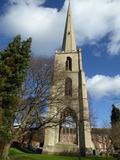
St Andrew's Spire
St Andrew's Spire, the rest of the church demolished in the late 1940s.
 Map © Crown Copyright")
TIP: Click the map for more Large scale mapping
- Grid Square
- SO8454, 2376 images (more nearby 🔍)
- Photographer
- Philip Halling (more nearby)
- Date Taken
- Tuesday, 9 February, 2016 (more nearby)
- Submitted
- Thursday, 11 February, 2016
- Subject Location
-
OSGB36:
 SO 8486 5477 [10m precision]
WGS84: 52:11.4576N 2:13.3735W - Camera Location
-
OSGB36: SO 8484 5477
- View Direction
- East-northeast (about 67 degrees)