2016
ST5467 : Monarch's Way descending towards Barrow Common
taken 8 years ago, near to Dundry, North Somerset, England
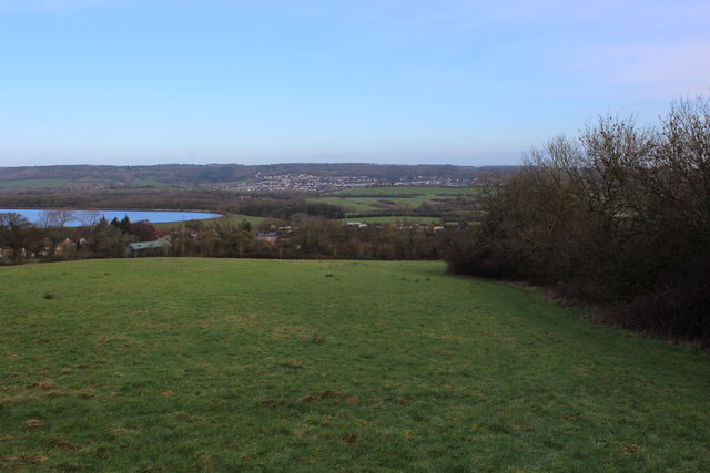
Monarch's Way descending towards Barrow Common
The long distance footpath hugs the hedgerow boundary as it descends towards Barrow Common and the A38.
 Map © Crown Copyright")
TIP: Click the map for more Large scale mapping
- Grid Square
- ST5467, 41 images (more nearby 🔍)
- Photographer
- Chris Heaton (more nearby)
- Date Taken
- Tuesday, 9 February, 2016 (more nearby)
- Submitted
- Saturday, 13 February, 2016
- Subject Location
-
OSGB36:
 ST 5490 6744 [10m precision]
WGS84: 51:24.2510N 2:38.9850W - Camera Location
-
OSGB36: ST 5491 6737
- View Direction
- NORTH (about 0 degrees)