2016
NT4202 : Track heading south into high woodland above Castleweary near Hawick
taken 8 years ago, 3 km from Castleweary, Scottish Borders, Scotland
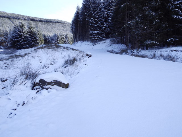
Track heading south into high woodland above Castleweary near Hawick
 Map © Crown Copyright")
TIP: Click the map for more Large scale mapping
- Grid Square
- NT4202, 29 images (more nearby 🔍)
- Photographer
- ian shiell (more nearby)
- Date Taken
- Monday, 15 February, 2016 (more nearby)
- Submitted
- Tuesday, 16 February, 2016
- Subject Location
-
OSGB36:
 NT 4273 0217 [10m precision]
WGS84: 55:18.6160N 2:54.2276W - Camera Location
-
OSGB36: NT 4274 0221
- View Direction
- SOUTH (about 180 degrees)