2016
TM3999 : View into a disused gravel pit
taken 8 years ago, near to Norton Subcourse, Norfolk, England
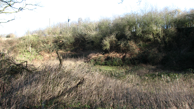
View into a disused gravel pit
 Map © Crown Copyright")
TIP: Click the map for more Large scale mapping
- Grid Square
- TM3999, 41 images (more nearby 🔍)
- Photographer
- Evelyn Simak (more nearby)
- Date Taken
- Friday, 19 February, 2016 (more nearby)
- Submitted
- Friday, 19 February, 2016
- Subject Location
-
OSGB36:
 TM 3964 9956 [10m precision]
WGS84: 52:32.4672N 1:31.9519E - Camera Location
-
OSGB36: TM 3962 9954
- View Direction
- Northeast (about 45 degrees)