2015
TL4263 : Ripe wheat field
taken 9 years ago, near to Girton, Cambridgeshire, England
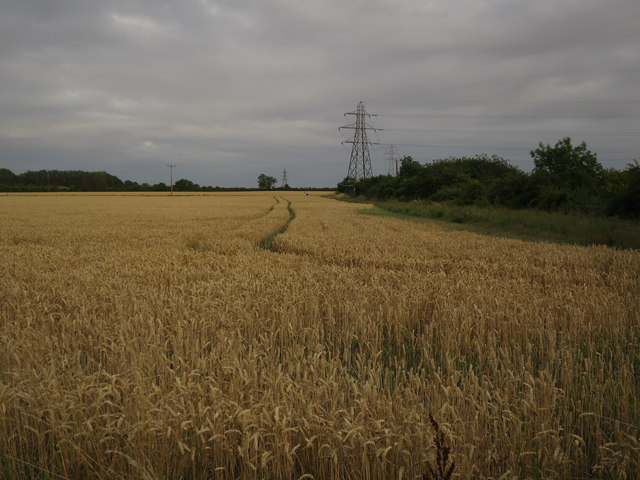
Ripe wheat field
By the new bridleway from Girton to the busway.
 Map © Crown Copyright")
TIP: Click the map for more Large scale mapping
- Grid Square
- TL4263, 104 images (more nearby 🔍)
- Photographer
- Hugh Venables (more nearby)
- Date Taken
- Monday, 3 August, 2015 (more nearby)
- Submitted
- Sunday, 21 February, 2016
- Subject Location
-
OSGB36:
 TL 4249 6308 [10m precision]
WGS84: 52:14.8475N 0:5.1448E - Camera Location
-
OSGB36: TL 4244 6311
- View Direction
- East-southeast (about 112 degrees)