2016
SN7675 : Forestry road heading for Bryn-llwyd
taken 8 years ago, 3 km from Cwmystwyth, Ceredigion/Sir Ceredigion, Wales
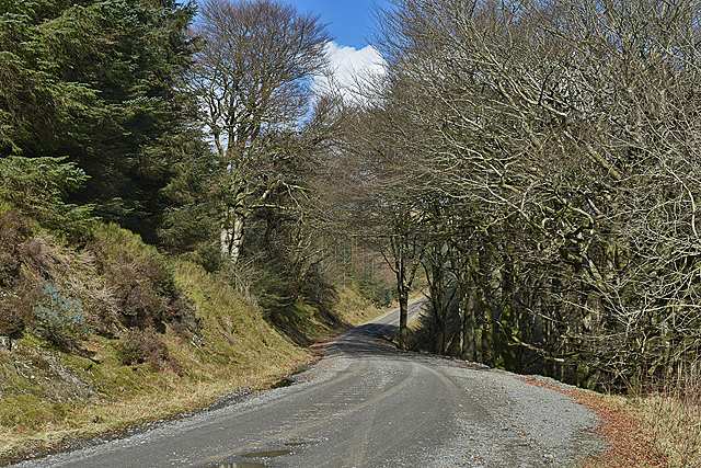
Forestry road heading for Bryn-llwyd
Passing through an ancient stand of beech trees. The road is a public right of way (footpath) which continues to the Cefn Croes wind farm, and beyond to the Wye valley.
 Map © Crown Copyright")
TIP: Click the map for more Large scale mapping
- Grid Square
- SN7675, 143 images (more nearby 🔍)
- Photographer
- Nigel Brown (more nearby)
- Date Taken
- Monday, 22 February, 2016 (more nearby)
- Submitted
- Monday, 22 February, 2016
- Subject Location
-
OSGB36:
 SN 7683 7585 [10m precision]
WGS84: 52:22.0088N 3:48.6258W - Camera Location
-
OSGB36: SN 7678 7579
- View Direction
- Northeast (about 45 degrees)