2007
NN2637 : Slopes of Ben Inverveigh
taken 17 years ago, 3 km from Bridge of Orchy, Argyll And Bute, Scotland
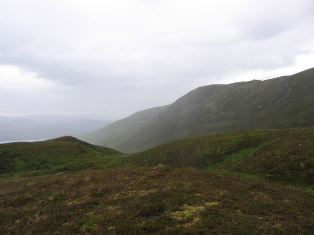
Slopes of Ben Inverveigh
Looking from the col between Ben Inverveigh and Meall Tairbh towards the steep side of Ben Inverveigh. Loch Tulla can just be seen.
 Map © Crown Copyright")
TIP: Click the map for more Large scale mapping
- Grid Square
- NN2637, 2 images (more nearby 🔍)
- Photographer
- Andrew Spenceley (more nearby)
- Date Taken
- Saturday, 30 June, 2007 (more nearby)
- Submitted
- Monday, 2 July, 2007
- Subject Location
-
OSGB36:
 NN 268 379 [100m precision]
WGS84: 56:30.0833N 4:48.9147W - Camera Location
-
OSGB36: NN 260 375
- View Direction
- East-northeast (about 67 degrees)