2007
NX4200 : Derelict buildings associated with the disused airfield at Andreas
taken 17 years ago, near to Dhowin, Isle of Man
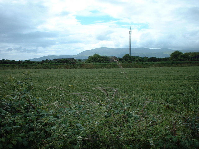
Derelict buildings associated with the disused airfield at Andreas
 Map © Crown Copyright")
TIP: Click the map for more Large scale mapping
- Grid Square
- NX4200, 2 images (more nearby 🔍)
- Photographer
- Adie Jackson (more nearby)
- Date Taken
- Tuesday, 3 July, 2007 (more nearby)
- Submitted
- Tuesday, 3 July, 2007
- Subject Location
-
OSGB36:
 NX 427 005 [100m precision]
WGS84: 54:22.5724N 4:25.3219W - Camera Location
-
OSGB36: NX 427 007
- View Direction
- South-southeast (about 157 degrees)