2016
TM1433 : River Stour shoreline
taken 8 years ago, near to Stutton, Suffolk, England
This is 1 of 2 images, with title River Stour shoreline in this square
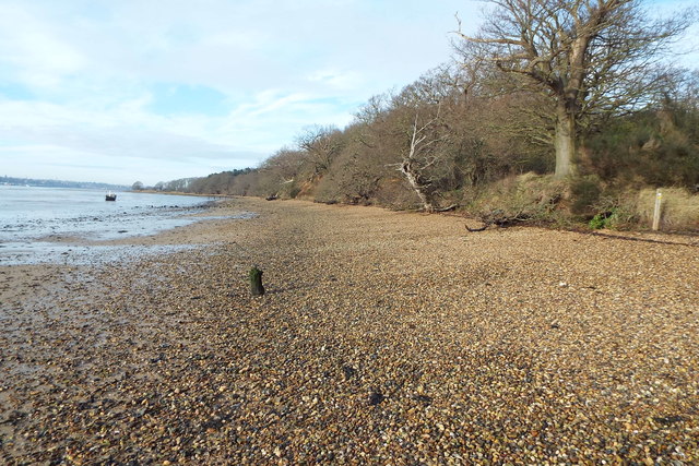
River Stour shoreline
The shoreline approaching Stutton Ness becomes firm sand and fine shingle, rather than the mud and saltmarsh further up river.
 Map © Crown Copyright")
TIP: Click the map for more Large scale mapping
- Grid Square
- TM1433, 62 images (more nearby 🔍)
- Photographer
- Robin Lucas (more nearby)
- Date Taken
- Thursday, 11 February, 2016 (more nearby)
- Submitted
- Sunday, 6 March, 2016
- Subject Location
-
OSGB36:
 TM 1429 3320 [10m precision]
WGS84: 51:57.3586N 1:7.0363E - Camera Location
-
OSGB36: TM 1468 3314
- View Direction
- WEST (about 270 degrees)