2016
NT1188 : Farmland, Whitefield
taken 8 years ago, near to Townhill, Fife, Scotland
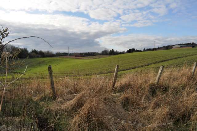
Farmland, Whitefield
Cultivated fields cover over the line of the former Townhill railway, closed in 1976.
 Map © Crown Copyright")
TIP: Click the map for more Large scale mapping
- Grid Square
- NT1188, 68 images (more nearby 🔍)
- Photographer
- Robert Struthers (more nearby)
- Date Taken
- Saturday, 27 February, 2016 (more nearby)
- Submitted
- Sunday, 6 March, 2016
- Subject Location
-
OSGB36:
 NT 1164 8889 [10m precision]
WGS84: 56:5.0770N 3:25.2874W - Camera Location
-
OSGB36: NT 1170 8887
- View Direction
- West-northwest (about 292 degrees)