2007
NZ2068 : Walking in the rain
taken 17 years ago, near to Woolsington, Newcastle Upon Tyne, England
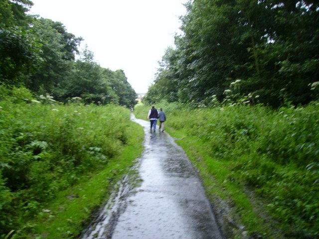
Walking in the rain
Part of a walk that is little used around Newbiggin Hall. In fact the council's own walking guide (part of a healthy heart campaign) even calls it the secret path. On the OS map it starts and stops but in fact is quite extensive.
 Map © Crown Copyright")
TIP: Click the map for more Large scale mapping
- Grid Square
- NZ2068, 75 images (more nearby 🔍)
- Photographer
- Newbiggin Hall Scouts (more nearby)
- Date Taken
- Sunday, 1 July, 2007 (more nearby)
- Submitted
- Wednesday, 4 July, 2007
- Subject Location
-
OSGB36:
 NZ 205 681 [100m precision]
WGS84: 55:0.4335N 1:40.8515W - Camera Location
-
OSGB36: NZ 204 682
- View Direction
- South-southeast (about 157 degrees)