2016
ST6660 : Priston Lane
taken 8 years ago, near to Farmborough, Bath And North East Somerset, England
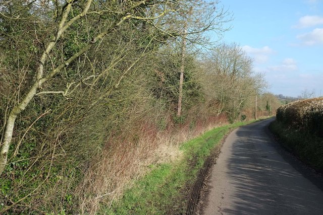
Priston Lane
The lane from Farmborough is running close to the Conygre Brook on the left.
 Map © Crown Copyright")
TIP: Click the map for more Large scale mapping
- Grid Square
- ST6660, 78 images (more nearby 🔍)
- Photographer
- Derek Harper (more nearby)
- Date Taken
- Tuesday, 16 February, 2016 (more nearby)
- Submitted
- Monday, 7 March, 2016
- Subject Location
-
OSGB36:
 ST 6689 6094 [10m precision]
WGS84: 51:20.7942N 2:28.6069W - Camera Location
-
OSGB36: ST 6684 6092
- View Direction
- East-northeast (about 67 degrees)