2016
NT1389 : Keirsbeath Track
taken 8 years ago, near to Crossgates, Fife, Scotland
This is 1 of 3 images, with title Keirsbeath Track in this square
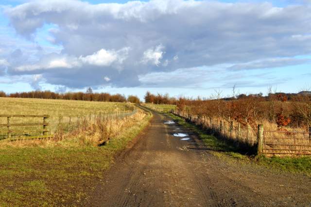
Keirsbeath Track
Looking west towards Crossgates and Hill of Beath.
 Map © Crown Copyright")
TIP: Click the map for more Large scale mapping
- Grid Square
- NT1389, 19 images (more nearby 🔍)
- Photographer
- Robert Struthers (more nearby)
- Date Taken
- Saturday, 27 February, 2016 (more nearby)
- Submitted
- Monday, 7 March, 2016
- Subject Location
-
OSGB36:
 NT 1389 8957 [10m precision]
WGS84: 56:5.4681N 3:23.1319W - Camera Location
-
OSGB36: NT 1370 8956
- View Direction
- EAST (about 90 degrees)