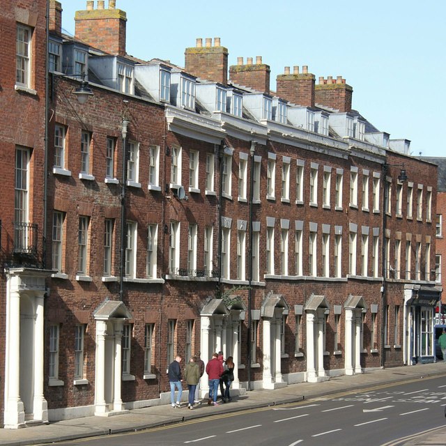
SO8454 : John Gwynn House, Bridge Street
taken 8 years ago, near to Worcester, Worcestershire, England
Listed buildings and structures are officially designated as being of special architectural, historical or cultural significance. There are over half a million listed structures in the United Kingdom, covered by around 375,000 listings.
Listed status is more commonly associated with buildings or groups of buildings, however it can cover many other structures, including bridges, headstones, steps, ponds, monuments, walls, phone boxes, wrecks, parks, and heritage sites, and in more recent times a road crossing (Abbey Road) and graffiti art (Banksy 'Spy-booth') have been included.
In England and Wales there are three main listing designations;
Grade I (2.5%) - exceptional interest, sometimes considered to be internationally important.
Grade II* (5.5%) - particularly important buildings of more than special interest.
Grade II (92%) - nationally important and of special interest.
There are also locally listed structures (at the discretion of local authorities) using A, B and C designations.
In Scotland three classifications are also used but the criteria are different. There are around 47,500 Listed buildings.
Category A (8%)- generally equivalent to Grade I and II* in England and Wales
Category B (51%)- this appears generally to cover the ground of Grade II, recognising national importance.
Category C (41%)- buildings of local importance, probably with some overlap with English Grade II.
In Northern Ireland the criteria are similar to Scotland, but the classifications are:
Grade A (2.3%)
Grade B+ (4.7%)
Grade B (93%)
Read more at Wikipedia Link
A group of 14 Geograph-ers met at the Farriers Arms in Worcester on 5 Mar 2016 to celebrate the project's eleventh birthday. Local member Philip Halling, who had organised the event, took us for a guided walk with many historical insights from the English Civil War to more modern times such as the floods of recent years. We walked past the "Glover's Needle" spire and the Cathedral, then southwards along the Severn to Diglis with its canal locks and basins. After a short climb onto Fort Royal Hill for an overview of the city, we ended the afternoon in The King Charles House pub.
 Map © Crown Copyright")
- Grid Square
- SO8454, 2376 images (more nearby 🔍)
- Photographer
- Alan Murray-Rust (more nearby)
- Date Taken
- Saturday, 5 March, 2016 (more nearby)
- Submitted
- Tuesday, 8 March, 2016
- Subject Location
-
OSGB36:
 SO 8469 5485 [10m precision]
WGS84: 52:11.5005N 2:13.5230W - Camera Location
-
OSGB36: SO 8466 5480
- View Direction
- North-northeast (about 22 degrees)