2016
SD6613 : Holden's Farm from Burnt Edge
taken 8 years ago, 3 km from Belmont, Blackburn With Darwen, England
This is 1 of 3 images, with title starting with Holden's in this square
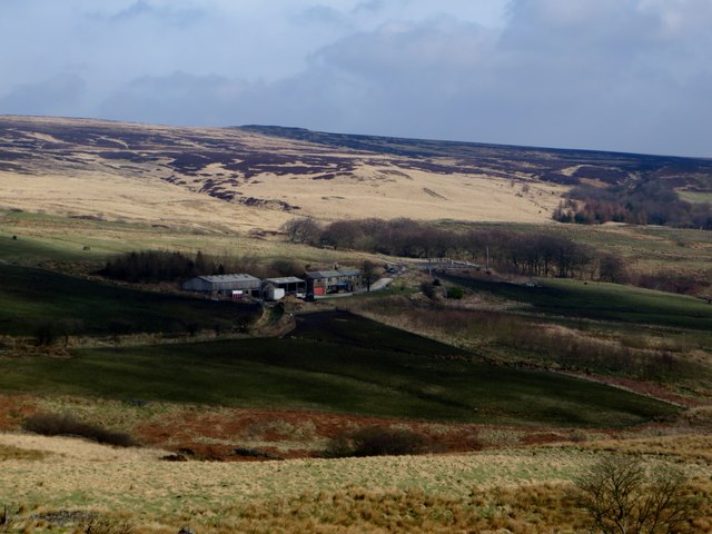
Holden's Farm from Burnt Edge
Moorland farm and farmhouse. The principle activity now seems to be with horses.
 Map © Crown Copyright")
TIP: Click the map for more Large scale mapping
- Grid Square
- SD6613, 18 images (more nearby 🔍)
- Photographer
- philandju (more nearby)
- Date Taken
- Friday, 11 March, 2016 (more nearby)
- Submitted
- Friday, 11 March, 2016
- Subject Location
-
OSGB36:
 SD 6660 1300 [10m precision]
WGS84: 53:36.7487N 2:30.3793W - Camera Location
-
OSGB36: SD 66301 12681
- View Direction
- Northeast (about 45 degrees)