2016
ST6662 : Marksbury Vale
taken 8 years ago, near to Marksbury, Bath And North East Somerset, England
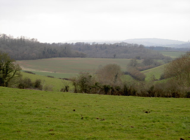
Marksbury Vale
Where the Bathford Brook runs and with Dundry ridge forming the horizon.
 Map © Crown Copyright")
TIP: Click the map for more Large scale mapping
- Grid Square
- ST6662, 53 images (more nearby 🔍)
- Photographer
- Neil Owen (more nearby)
- Date Taken
- Tuesday, 15 March, 2016 (more nearby)
- Submitted
- Wednesday, 16 March, 2016
- Subject Location
-
OSGB36:
 ST 661 629 [100m precision]
WGS84: 51:21.8595N 2:29.2988W - Camera Location
-
OSGB36: ST 664 628
- View Direction
- West-northwest (about 292 degrees)