2007
ST2099 : Between Trinant and the Kendon Hill
taken 17 years ago, near to Trinant, Caerphilly/Caerffili, Wales
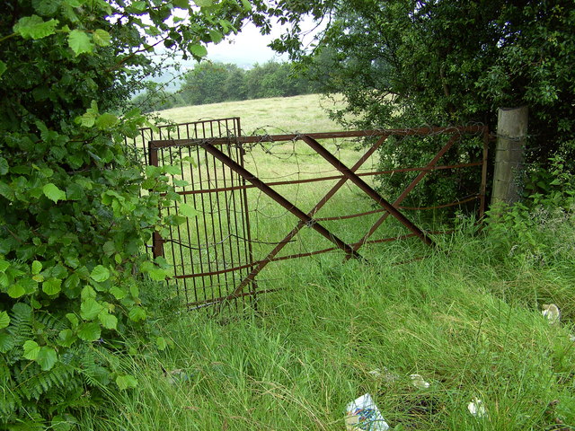
Between Trinant and the Kendon Hill
Looking through a field gate from the Trinant to Kendon Hill road. This photograph shows the main land use in this square which is agriculture.
 Map © Crown Copyright")
TIP: Click the map for more Large scale mapping
- Grid Square
- ST2099, 48 images (more nearby 🔍)
- Photographer
- Sally Lloyd (more nearby)
- Date Taken
- Thursday, 5 July, 2007 (more nearby)
- Submitted
- Friday, 6 July, 2007
- Subject Location
-
OSGB36:
 ST 208 995 [100m precision]
WGS84: 51:41.3621N 3:8.8110W - Camera Location
-
OSGB36: ST 207 995
- View Direction
- EAST (about 90 degrees)