2005
TQ1466 : Near the River Ember
taken 19 years ago, near to Thames Ditton, Surrey, England
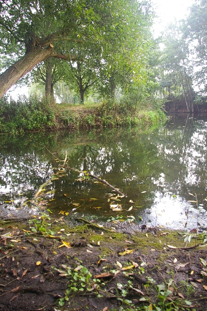
Near the River Ember
South East of the Island Barn reservoir and North of Esher station is a recreational ground with this meandering stream
 Map © Crown Copyright")
TIP: Click the map for more Large scale mapping
- Grid Square
- TQ1466, 54 images (more nearby 🔍)
- Photographer
- steve (more nearby)
- Date Taken
- Sunday, 4 September, 2005 (more nearby)
- Submitted
- Sunday, 4 September, 2005
- Subject Location
-
OSGB36:
 TQ 14 66 [1000m precision]
WGS84: 51:23.1603N 0:21.3561W