2016
SK1256 : Low plantation
taken 8 years ago, near to Alstonefield, Staffordshire, England
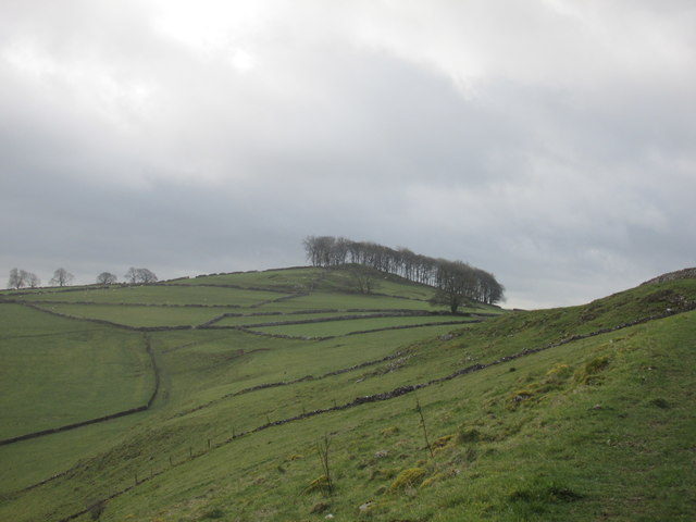
Low plantation.
Typical White Peak countryside.
 Map © Crown Copyright")
TIP: Click the map for more Large scale mapping
- Grid Square
- SK1256, 33 images (more nearby 🔍)
- Photographer
- steven ruffles (more nearby)
- Date Taken
- Sunday, 27 March, 2016 (more nearby)
- Submitted
- Tuesday, 29 March, 2016
- Subject Location
-
OSGB36:
 SK 1289 5656 [10m precision]
WGS84: 53:6.3648N 1:48.5349W - Camera Location
-
OSGB36: SK 1267 5678
- View Direction
- Southeast (about 135 degrees)