2007
NZ3032 : Corn Field
taken 17 years ago, near to Ferryhill, County Durham, England
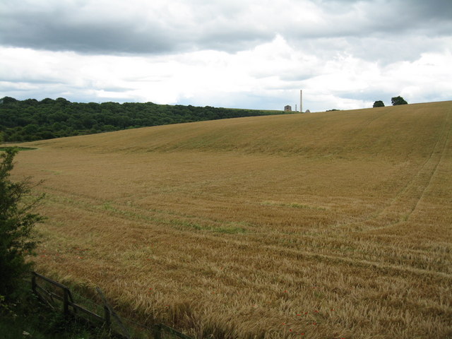
Corn Field
 Map © Crown Copyright")
TIP: Click the map for more Large scale mapping
- Grid Square
- NZ3032, 20 images (more nearby 🔍)
- Photographer
- Donald Brydon (more nearby)
- Date Taken
- Sunday, 8 July, 2007 (more nearby)
- Submitted
- Sunday, 8 July, 2007
- Subject Location
-
OSGB36:
 NZ 306 328 [100m precision]
WGS84: 54:41.3698N 1:31.5540W - Camera Location
-
OSGB36: NZ 299 338
- View Direction
- Southeast (about 135 degrees)