2016
NS4377 : Fence and gate in Lang Craigs Woodland
taken 8 years ago, near to Milton, West Dunbartonshire, Scotland
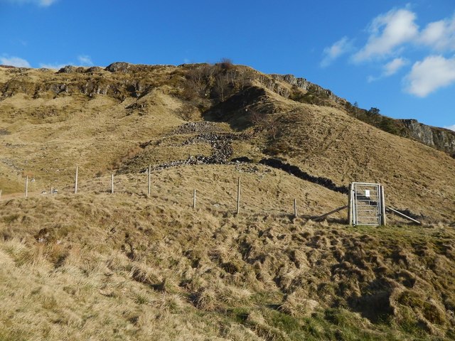
Fence and gate in Lang Craigs Woodland
The view is from NS4377 : Lang Craigs Woodland: high-level path. Many of the gates in this area have, as well as numbers, descriptive names, and this gate is "Lady Overtoun's Gate G10". For the feature after which it is presumably named, see NS4376 : Lady Overtoun's Walk.
Lang Craigs Woodland
The woodland occupies 240 hectares (590 acres) that were acquired by the Woodland Trust Scotland in 2011. It is named after the Long Crags (or Lang Craigs), a line of cliffs Link making up the facade of the Kilpatrick Hills plateau. Lang Craigs Woodland is one of the 13 Commonwealth Woods, and is an SSSI (Site of Special Scientific Interest). New paths have been laid out (waymarkers were added in May 2015), and about 160 hectares of new native woodland planted.
 Map © Crown Copyright")
TIP: Click the map for more Large scale mapping
- Grid Square
- NS4377, 146 images (more nearby 🔍)
- Photographer
- Lairich Rig (more nearby)
- Date Taken
- Sunday, 20 March, 2016 (more nearby)
- Submitted
- Sunday, 3 April, 2016
- Subject Location
-
OSGB36:
 NS 4326 7700 [10m precision]
WGS84: 55:57.6217N 4:30.7433W - Camera Location
-
OSGB36: NS 4325 7701
- View Direction
- East-southeast (about 112 degrees)