2016
TQ3378 : Corner of Bagshot Street and Smyrk's Road, Walworth
taken 8 years ago, near to Bermondsey, Southwark, England
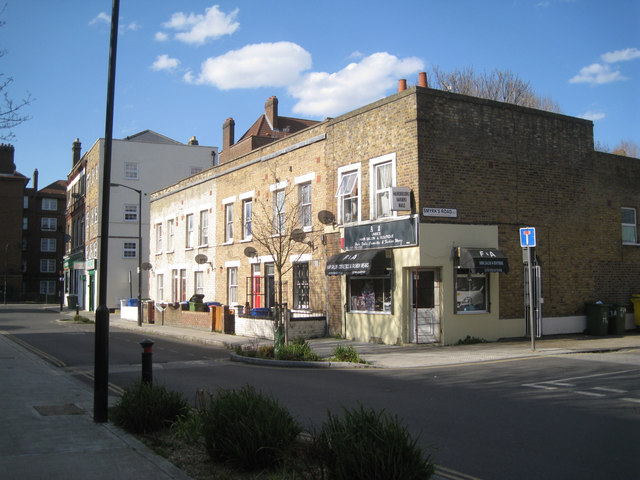
Corner of Bagshot Street and Smyrk's Road, Walworth
These streets are shown on a map of 1851, though Bagshot Street was called Yprk Road. Behind the camera and left is the Ravenstone block of the Aylesbury Estate, its easternmost extent.
 Map © Crown Copyright")
TIP: Click the map for more Large scale mapping
- Grid Square
- TQ3378, 254 images (more nearby 🔍)
- Photographer
- Robin Stott (more nearby)
- Date Taken
- Tuesday, 5 April, 2016 (more nearby)
- Submitted
- Thursday, 7 April, 2016
- Subject Location
-
OSGB36:
 TQ 3331 7821 [10m precision]
WGS84: 51:29.2281N 0:4.8821W - Camera Location
-
OSGB36: TQ 3331 7818
- View Direction
- NORTH (about 0 degrees)