2005
TR0534 : St. Rumwolds' Church, near Bonnington, Romney Marsh, Kent
taken 19 years ago, near to Bonnington, Kent, England
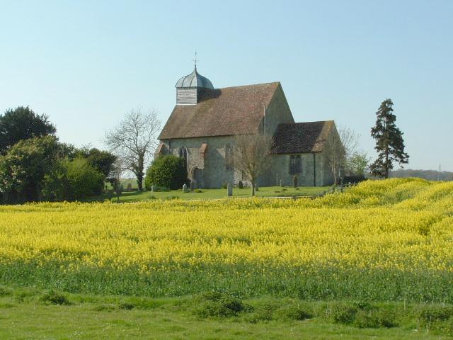
St. Rumwolds' Church, near Bonnington, Romney Marsh, Kent.
 Map © Crown Copyright")
TIP: Click the map for more Large scale mapping
- Grid Square
- TR0534, 103 images (more nearby 🔍)
- Photographer
- Paul Russon (more nearby)
- Date Taken
- Thursday, 21 April, 2005 (more nearby)
- Submitted
- Thursday, 21 April, 2005
- Subject Location
-
OSGB36:
 TR 05 34 [1000m precision]
WGS84: 51:4.3814N 0:55.9219E