2016
NO2896 : Torgalter Burn
taken 8 years ago, near to Mains of Abergeldie, Aberdeenshire, Scotland
This is 1 of 2 images, with title Torgalter Burn in this square
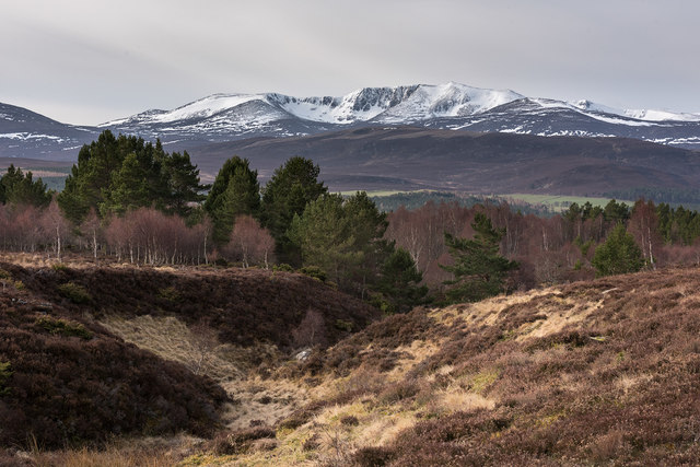
Torgalter Burn
The burn drains the moorland below The Maim.
 Map © Crown Copyright")
TIP: Click the map for more Large scale mapping
- Grid Square
- NO2896, 3 images (more nearby 🔍)
- Photographer
- Nigel Corby (more nearby)
- Date Taken
- Saturday, 2 April, 2016 (more nearby)
- Submitted
- Monday, 11 April, 2016
- Subject Location
-
OSGB36:
 NO 2870 9629 [10m precision]
WGS84: 57:3.1281N 3:10.6186W - Camera Location
-
OSGB36: NO 2873 9641
- View Direction
- South-southwest (about 202 degrees)