2016
NZ2157 : Looking SW across Burdon Moor
taken 8 years ago, near to Marley Hill, Gateshead, England
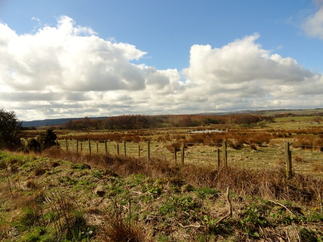
Looking SW across Burdon Moor
View across the reclaimed heathland from the field path leading north to Birklands Lane.
 Map © Crown Copyright")
TIP: Click the map for more Large scale mapping
- Grid Square
- NZ2157, 21 images (more nearby 🔍)
- Photographer
- Robert Graham (more nearby)
- Date Taken
- Wednesday, 30 March, 2016 (more nearby)
- Submitted
- Thursday, 14 April, 2016
- Subject Location
-
OSGB36:
 NZ 2148 5733 [10m precision]
WGS84: 54:54.6134N 1:39.9897W - Camera Location
-
OSGB36: NZ 2157 5744
- View Direction
- Southwest (about 225 degrees)